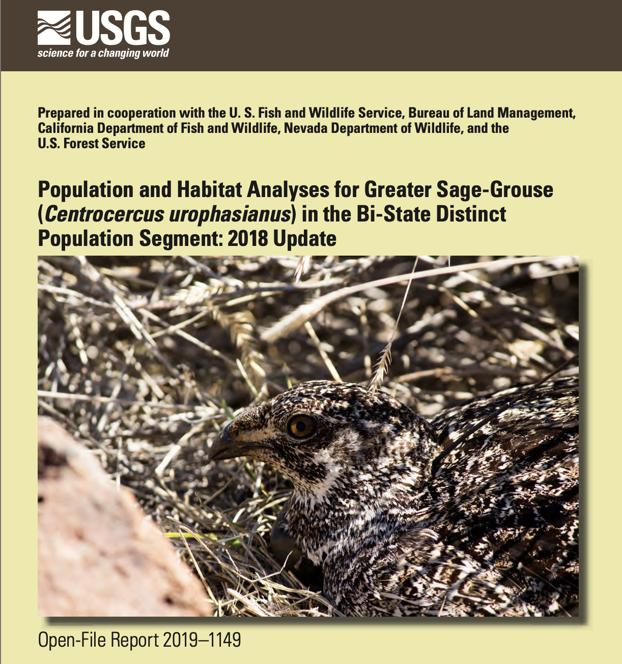
Population and Habitat Analyses for Greater Sage-Grouse in the Bi-State DPS
The USGS prepared these population and habitat analyses in cooperation with the U. S. Fish and Wildlife Service, Bureau of Land Management, California Department of Fish and Wildlife, Nevada Department of Wildlife, and the U.S. Forest Service.
These analyses provide current and best available science regarding population status of sage-grouse within the Bi-State DPS. Using data from a long-term monitoring program, they carried out six analytical study objectives.
1. Comprehensive population analyses using lek counts and demographic rates informed by marked sage-grouse within an IPM framework. This includes an overall estimate of population abundance.
2. Expansion of a hierarchical framework for population monitoring that initially identifies biologically relevant spatial scales tied to population structure and function. This includes a signal for populations or subpopulations most likely declining which acts as an early warning system for adaptive management that integrates immediate scientific findings into management decisions.
3. Spatially explicit maps of habitat selection from estimated resource selection function (RSF) parameters across the entire Bi-State DPS. USGS created maps that reflect selection across phenological periods (spring, summer–fall, and winter) that encompass all age and sex classes of sage-grouse, as well as specific life stage (nesting, early brood-rearing, late brood-rearing) maps for reproductive females.
4. Spatially-explicit changes in occupied distribution across each time period for subpopulations and the Bi-State DPS as a whole.
5. Calculated percentages of selected (from Objective 3) and likely occupied (from Objective 4) phenological and life stage habitat that each subpopulation contributed to the Bi-State DPS.
6. The influence of precipitation and managed water delivery on sage-grouse selection for mesic habitat within the Long Valley subpopulation.

